
Earthquake! Where was it?
Grades 6–8, 9–12 · 40 min · by Peter Bohacek · Updated Oct 8, 2026
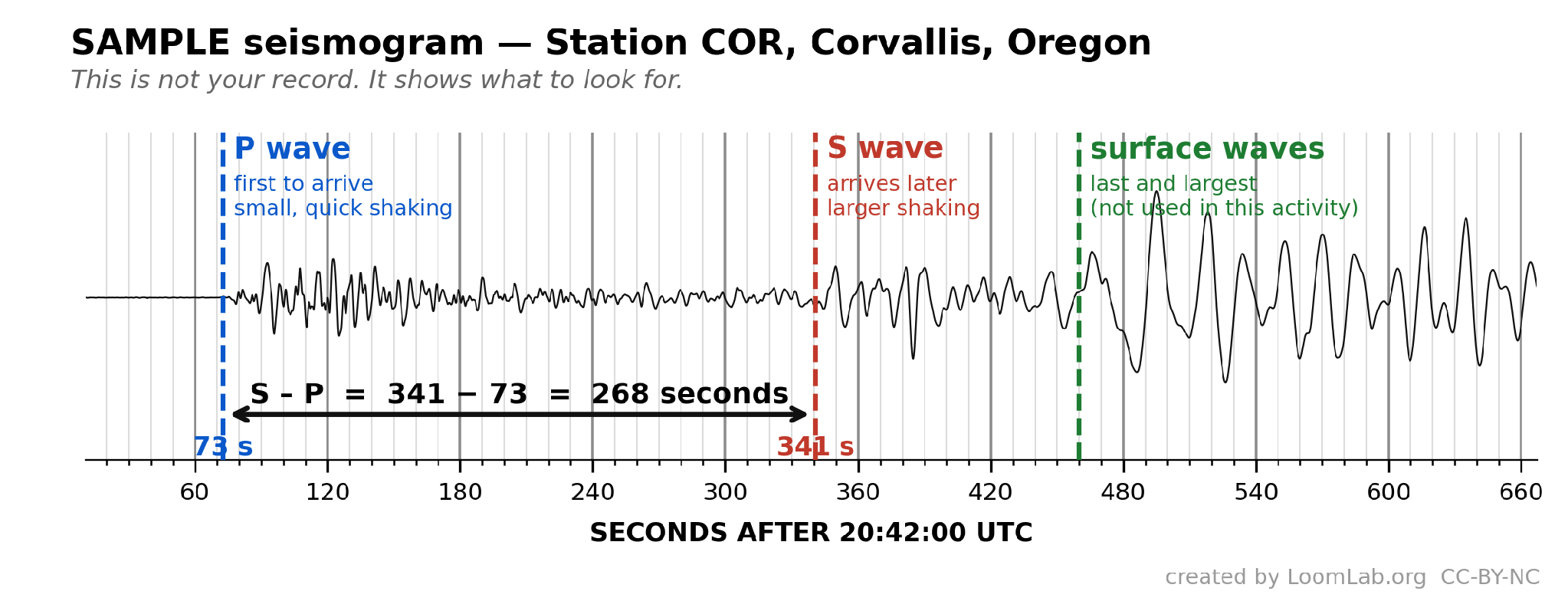
When a seismologist sees a trace on their seismograph, they know immediately there has been an earthquake. But where? In this activity, students use seismograph traces from real earthquakes and must collaborate with others to determine the location of the epicenter.
Learning goals
Students will use real data to determine the distance from a seismic station to the location of the epicenter of an earthquake.
Students will collaborate with classmates to create a data set that allows them to identify the location of an earthquake epicenter.
Students will be able to create an argument from evidence to support the conclusion of the location of the earthquake.
Students will be able to identify causes of error/uncertainty in their result and suggest ways to improve their confidence in the result
Equipment needed
Compass for drawing a circle on their map. If needed, student can improvise using a strip of paper as a rudimentary compass.
Seismograph traces (provided in download section below)
Paper map of the potential area of the event. (provided in download section below.
Time travel graph (provided below)
Free for every teacher
Get the full activity
Create a free account to see the step-by-step instructions, handouts, and assessment ideas.
Create a free accountAlready have an account? Sign in
Feedback
Sign in to rate this activity.
No comments yet. Taught this activity? Share how it went for your students.
Sign in to leave a comment.